Home / Projects

Projects

National-scale platform capabilities CDG (Laos) designs, builds and supports.

Capability 01

Aerial Survey & LiDAR Data Platform

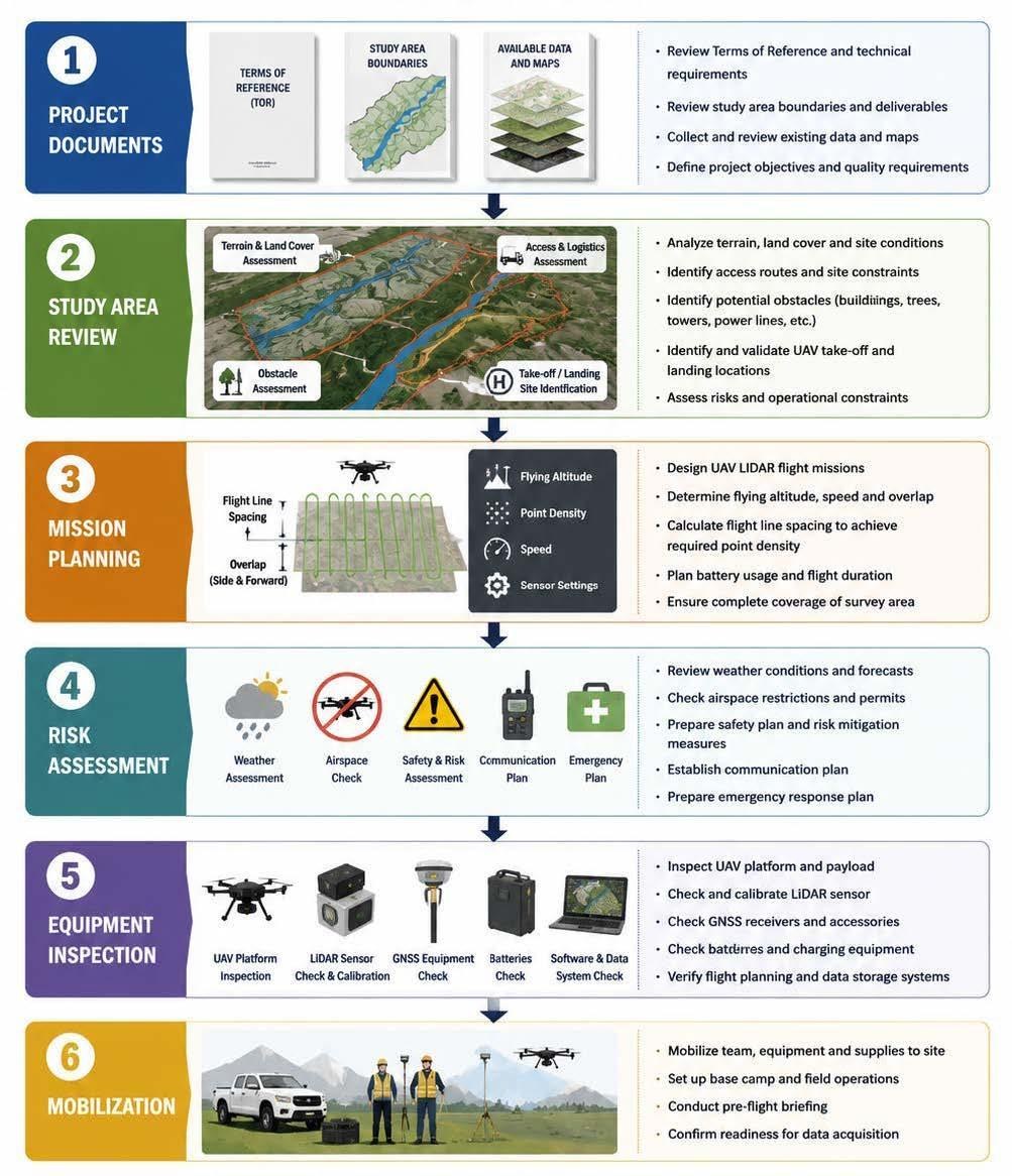
We build the field data platforms that move very large volumes of drone imagery and LiDAR point cloud data from the survey site to managed central storage — reliably, over the connectivity that actually exists in the field.

The problem

A single survey day produces tens of gigabytes of raw capture: high-resolution drone imagery and LiDAR point clouds. Standard sync tools restart a failed transfer from the beginning of the file — which, on a multi-gigabyte point cloud over an intermittent field link, means a transfer that never completes.

How we solve it

An ingest platform built around object storage, with a purpose-built upload client that resumes at the byte level. A dropped connection costs the seconds already in flight, not the hours already transferred.

  • High-volume ingest of drone imagery and LiDAR raw data
  • True byte-level resumable upload for intermittent field links
  • S3-compatible object storage with multipart transfer
  • Integrity verification on every part and on completion
  • Catalogue, retention policy and storage capacity planning

What we handle

Drone imagery + LiDARData types ingested
Tens of GB per survey dayRaw capture volume handled
Point clouds & orthophotosProducts supported
River basin & corridor surveyTypical application

Technology

S3-compatible object storage · multipart upload with per-part checksums · custom resumable transfer client · Linux server infrastructure · capacity and retention management.

Capability 02

Digital Twin Platform

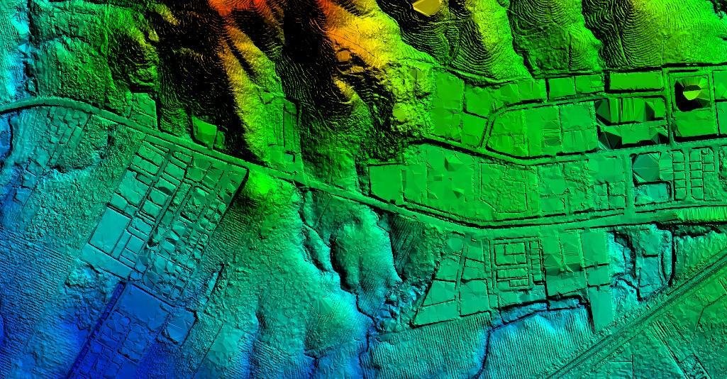
An interactive 3D digital twin of the river basin environment — so that flood extent, depth and impact can be seen and compared on the terrain itself, rather than read off a spreadsheet.

The problem

Hydrological modelling produces results that are precise but hard to act on. Decision makers, planners and the communities affected need to see where the water goes, how deep it gets, and what it reaches.

How we solve it

A browser-based 3D digital twin combining terrain, imagery and modelled flood scenarios. Scenarios can be switched and compared on demand, with the visualisation built on an enterprise GIS mapping stack so it plugs into the spatial data the agencies already hold.

  • 3D terrain, imagery and asset visualisation in the browser
  • On-demand flood scenario switching and side-by-side comparison
  • Built on an enterprise GIS mapping SDK
  • Runs on standard infrastructure — no specialist client software
  • Consumes the same survey data captured by our field platform

What we handle

River basin terrainArea modelled in 3D
Flood scenariosModelled and visualised in 3D
Web browserDelivery — no client install
Survey-grade inputsLiDAR, imagery, hydrological data

Technology

Enterprise GIS mapping SDK · 3D terrain and scene services · hydrological scenario data · web application delivery · Linux server infrastructure.

Why it matters

One programme feeds the other

The two platforms are designed to work together. The survey platform captures and safeguards the ground truth — drone imagery and LiDAR at survey accuracy. The digital twin turns that data into something a decision maker can look at and act on.

Together they cover the full path from the riverbank to the planning meeting: capture, transfer, store, model, visualise, decide.

Discuss a similar programme
Capture

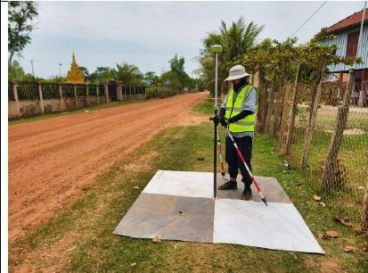
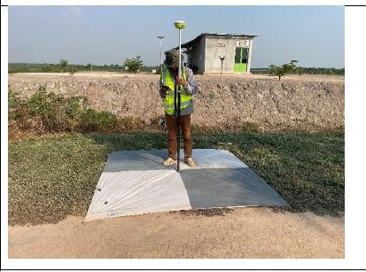
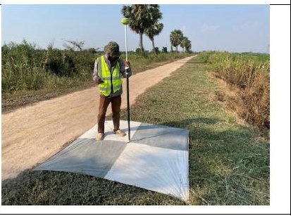
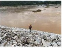
Drone and LiDAR survey in the field

Transfer & store

Resumable ingest into managed object storage

Model

Terrain and hydrological flood scenarios

Visualise & decide

3D digital twin in the browser

Have a programme like this?

We scope, build, install, train and maintain — end to end.

Contact CDG (Laos)